HOOK
Tactical Remote Vision System
Compact, deployable, and field-proven.
scroll to explore

Hook
Tactical Remote Vision SystemCompact, deployable, and field-proven.
scroll to explore


PRODUCT OVERVIEW
Overview
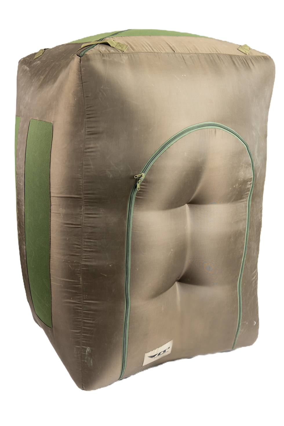
The HOOK is CS3’s foundational remote vision system, designed for rapid tactical deployment and immediate visual intelligence.
It provides operators with a live video feed from within tunnels, voids, and enclosed structures — minimizing risk and reducing uncertainty before physical entry.
deployment
Man-portable | Extended-reach | Probe-based
Enviormment
Confined-space | Subterranean | High-risk
Output
Remote Sensing | Threat Assessment | Visual Intelligence
Use Case
Pre-entry | Reconnaissance | Inspection
Setup Time
< 30s
Weight
6 kg
Accuracy
±10mm
System Features
Core Capabilities
High-Resolution Imaging
Captures detailed visual data in low or zero light.
Compact Form Factor
Easily transportable and deployable by a single operator.
Ruggedized Housing
Designed to survive impact, vibration, and debris.
Data Capture Options
Visual recording and live relay for mission review.
Plug-and-Play Setup
Operational in seconds.
Stand-Off Reconnaissance
Enables remote inspection of inaccessible or high-risk spaces prior to personnel entry.


MISSION VALUE
Operational Advantages
Enables first-look intelligence during reconnaissance or breaching operations.
Protects personnel from entering unverified or hostile subterranean spaces.
Integrates with command screens, helmet displays, or mobile devices for live viewing.
Used successfully in Gaza tunnel operations, border tunnel interdictions, and urban search and rescue missions.
TECHNICAL DATA
Technical Specifications
Setup Time
< 2 minutes
Weight
~ 4.5 kg
Reach
Extended / modular telescopic
Camera Type
Enhanced optical with zoom
Illumination
Dual-mode IR + white light
Power
External / extended battery
Integration
Command display / tablet
Data Output
Live video / control interface

Operational Use Cases
Field-Proven Deployments
Urban Structural Collapse Response
Rapid post-event 3D mapping and structural assessment within a partially collapsed commercial residential structure. Spatial intelligence supported debris-field analysis, responder safety, and coordinated search operations in unstable conditions.
Large-Scale Seismic Disaster Response
Deployment of real-time mapping systems in widespread structural collapse environments following a major seismic event. Enabled identification of survivable voids, safe access routes, and operational coordination across rescue teams.
Post-Strike Structural Assessment
Real-time spatial intelligence collection inside recently impacted urban structures following kinetic strike events. Mapping systems assisted with structural analysis, hazard identification, and survivable space assessment in unstable environments.
Subterranean Border Security Operations
Detection and assessment of underground transit and smuggling pathways in support of counter-interdiction and border security missions. Systems provided spatial awareness and tunnel intelligence prior to personnel entry.
Cross-Border Tunnel Detection Operations
Subterranean reconnaissance and mapping support during underground infrastructure detection and assessment operations. Enabled operational understanding of confined underground pathways and structural conditions.
Defense & Military
Tunnel exploration, counter-IED operations, threat verification.
Law Enforcement & Border Security
Drug and human trafficking tunnel detection and inspection.
Search & Rescue
Visual verification of voids, collapsed structures, and trapped victims.
Civil Engineering
Inspection of confined spaces, conduits, and subsurface structures.
USE CASES
Applications